-
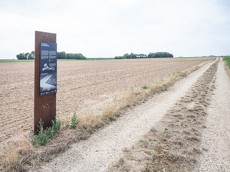
Via Belgica in Aldenhoven
Around 2000 years ago, the Roman highway from Cologne to the Atlantic coast ran through what is now fields and farmland. It ran straight through the area of today's municipality of Aldenhoven for a length of four kilometres, but was abandoned west of Jülich at the end of the Roman period. Nevertheless, the route can still be traced today – for example, using aerial photographs or laser scans.
The dirt road at this point is one of two short sections where the current route still corresponds exactly to the historical route. One reason for this is that the route of the road still functions as a plot boundary today. The roadsides of the Via Belgica were once lined with four Roman settlements in Aldenhoven. Evidence of this can be found in three ruins located at intervals of 300 metres along the road.
These included a guard post and a civilian road station. In addition, there was a Gallo-Roman temple with colonnaded walkway just two kilometres to the east. Roman bricks and ceramics indicate the presence of further buildings. In addition, there were numerous estates off the road, which stretched across the entire Jülich loess plain in a dense network and supplied the towns and military camps with agricultural products.